Imaging Lab
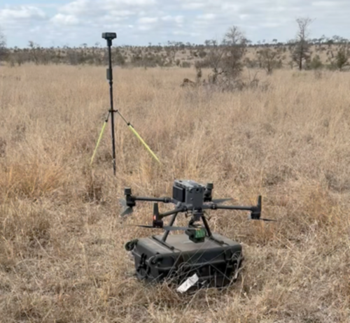
The Imaging Lab provides modern methods for the acquisition, analysis, and processing of image and remote sensing data. Using RPAV systems and specialised imaging technologies, high resolution aerial and satellite data are collected for research and applied projects. These data provide an important basis for environmental analyses, geomonitoring, and land cover mapping. The Imaging Lab supports projects from data acquisition through to evaluation and thus makes a central contribution to research and teaching.
![[Translate to English:] 1](https://pguw.duw.unibas.ch/fileadmin/_processed_/3/5/csm_IMG_20230117_133629_b257f3c284.jpg)
![[Translate to English:] 1](https://pguw.duw.unibas.ch/fileadmin/_processed_/6/8/csm_pic3_5b9aed34b2.jpg)
![[Translate to English:] 1](https://pguw.duw.unibas.ch/fileadmin/_processed_/c/6/csm_csm_Wind_Regen_Simulator_45e49c3248_c91f521021.jpg)